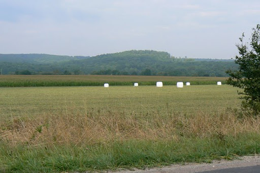
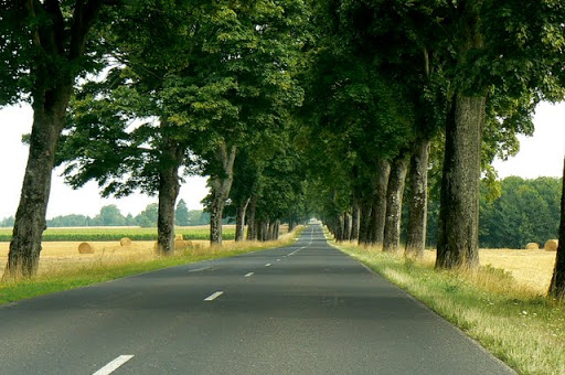
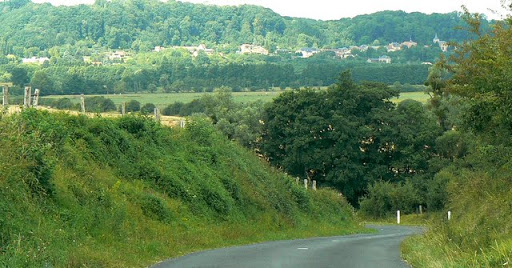
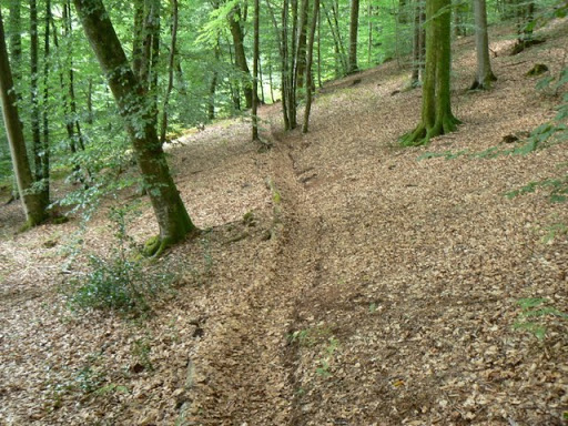
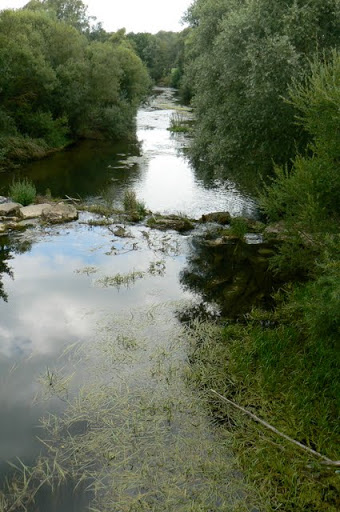
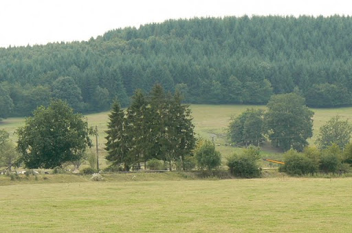
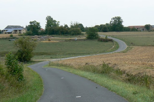
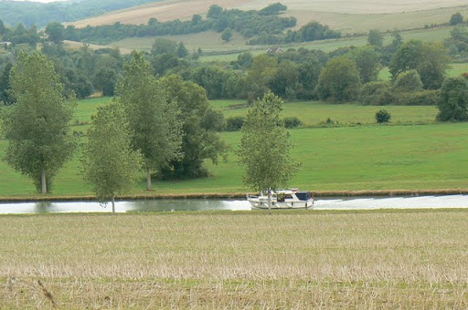
The Meuse River–Argonne Forest region in eastern France is a hilly area with forests and rivers that forms a natural barrier between the Champagne and Lorraine regions. The Argonne Forest is about 40 miles long and 10 miles wide (65 by 15 km). The highest massif rarely exceeds 650 feet (200 m) in elevation but is slashed with numerous deep valleys formed by watercourses associated with the Aire and Aisne rivers, which constitute a barrier to transportation.
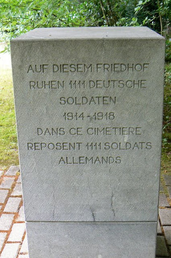
On the eastern side of this area is the long Meuse River that flows north-south through Europe. The area has little strategic importance today but during World War 1 the land was a crucial battlefront. Here the U.S. forces struggled, taking many casualties, to overcome fierce Germans resistance in the Meuse-Argonne Offensive in 1918, the deadliest battle in American history, before or since.
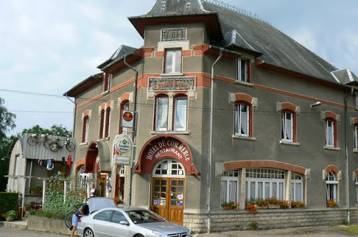
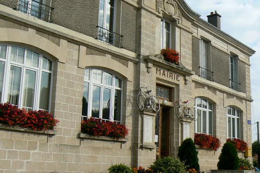
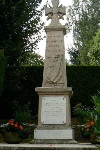
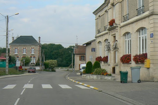
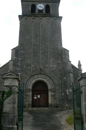
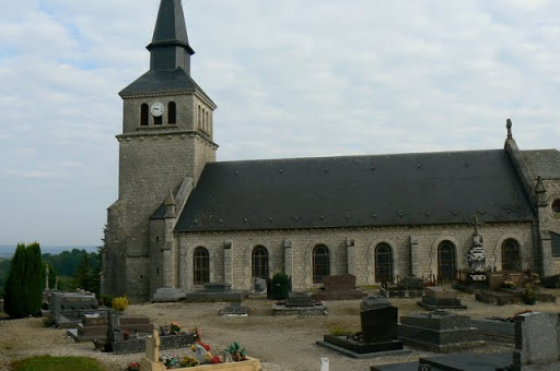
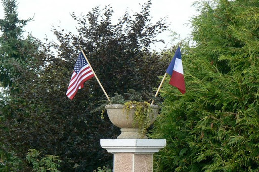
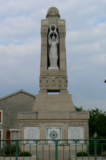
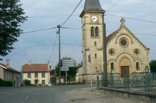
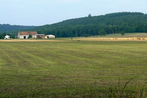
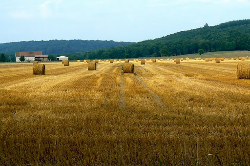
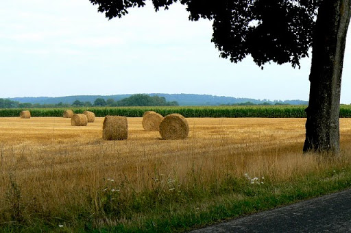
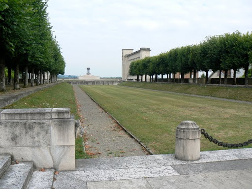
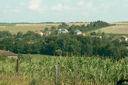
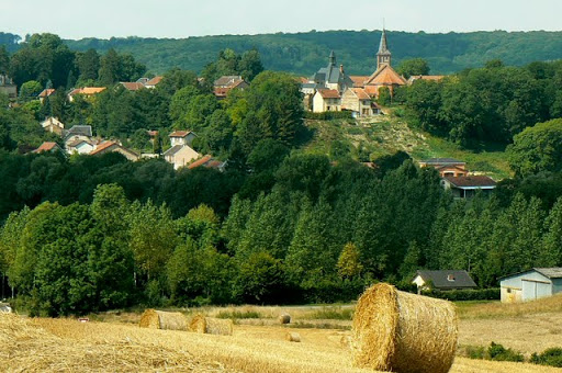
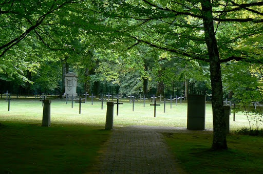
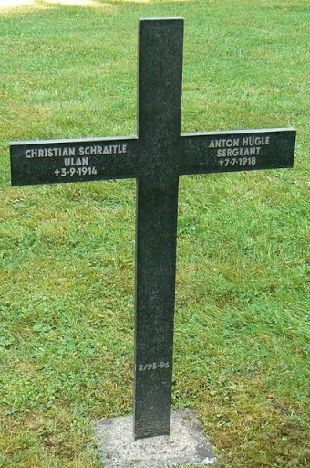
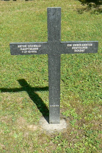
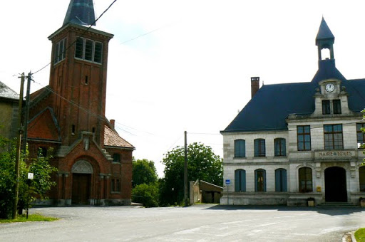
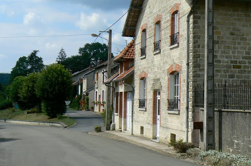
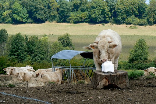
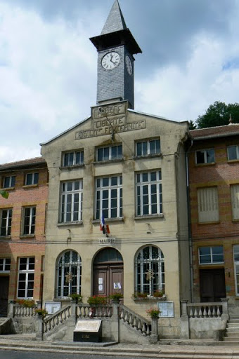
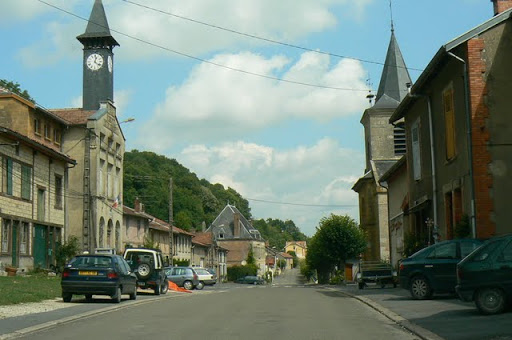
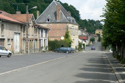
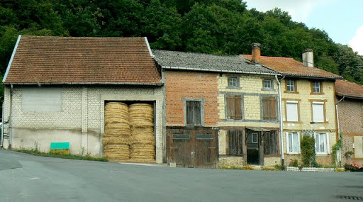
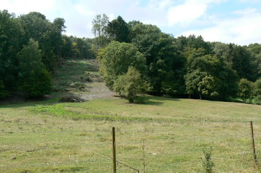
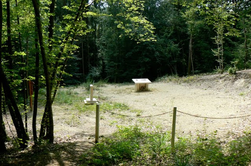
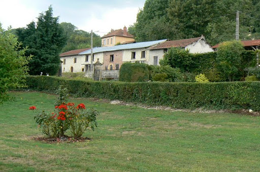
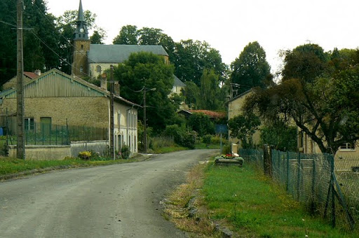
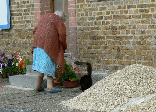
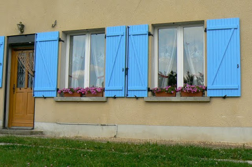
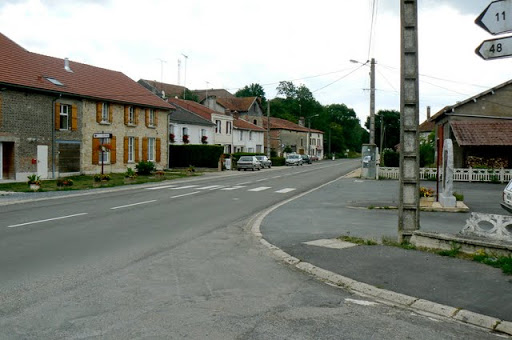
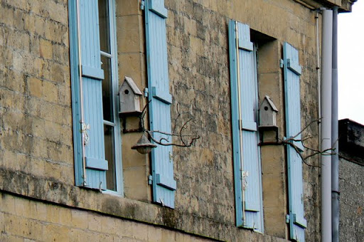
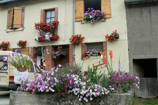
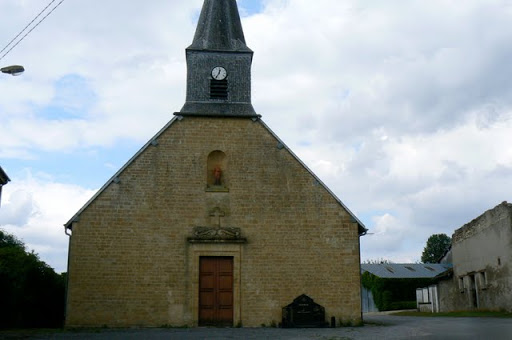
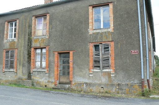
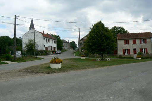
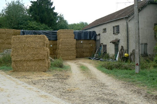
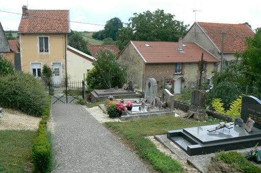
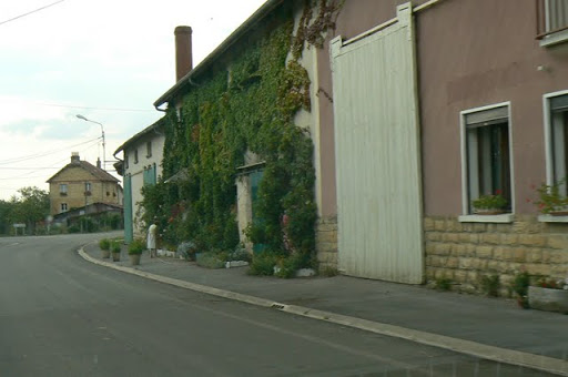
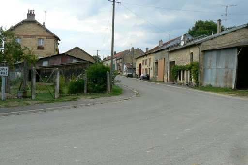
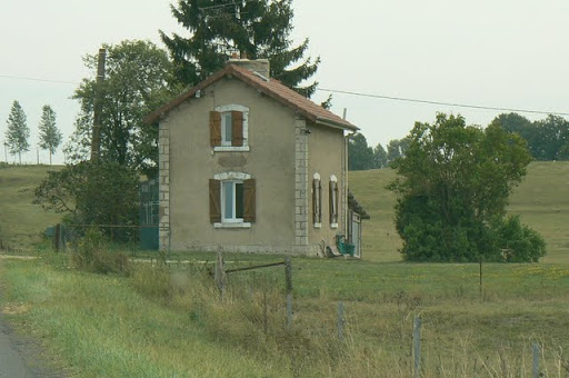
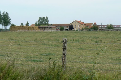
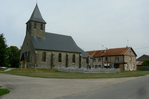
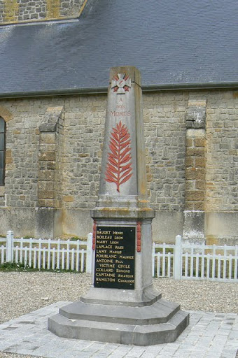
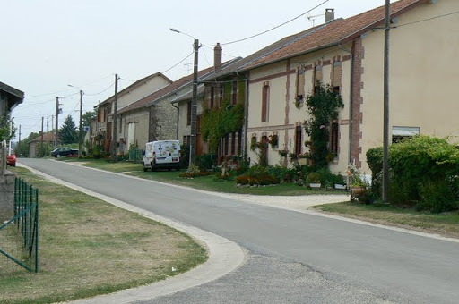
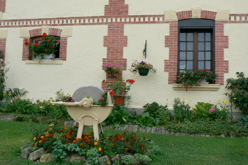
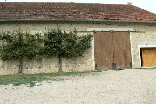
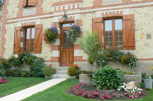
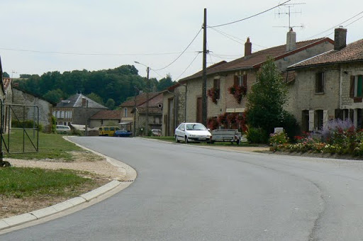
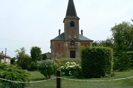
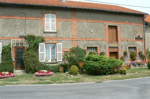
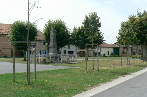
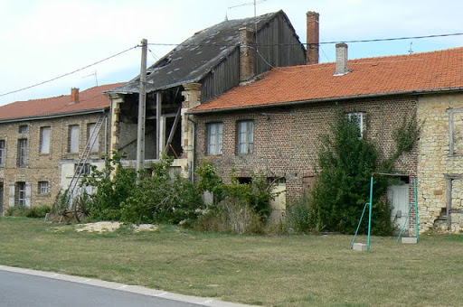
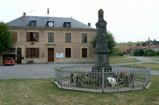
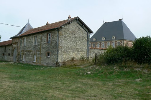
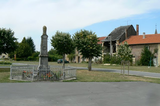
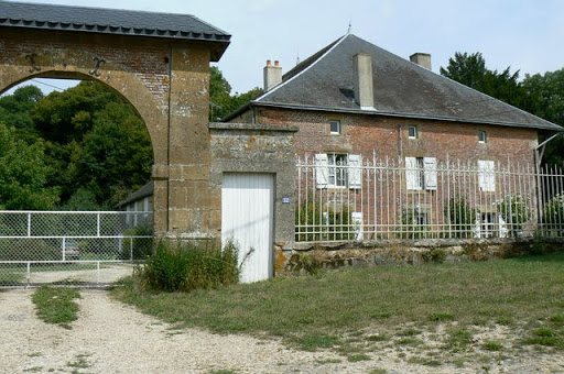
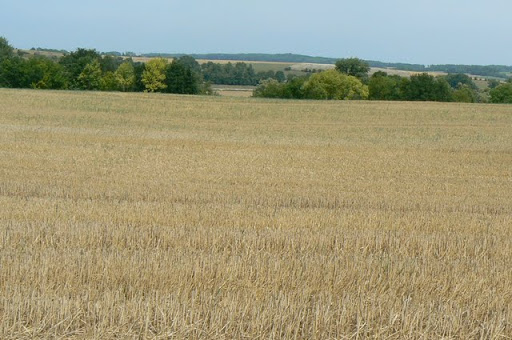
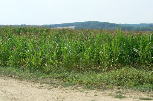
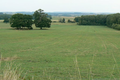
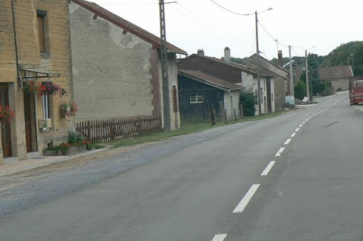
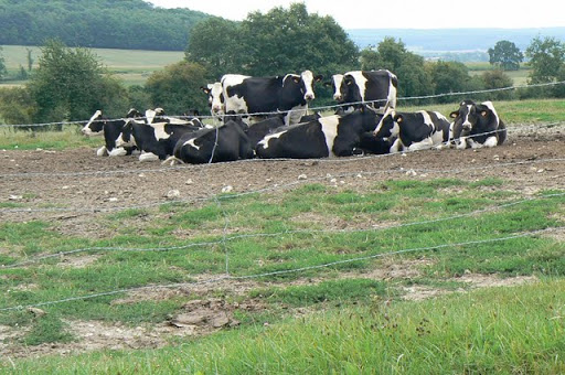
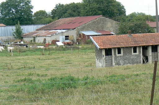
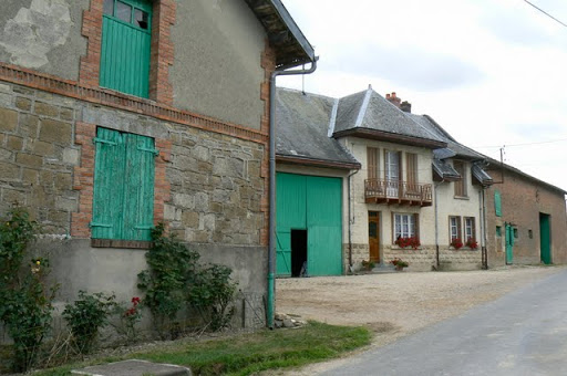
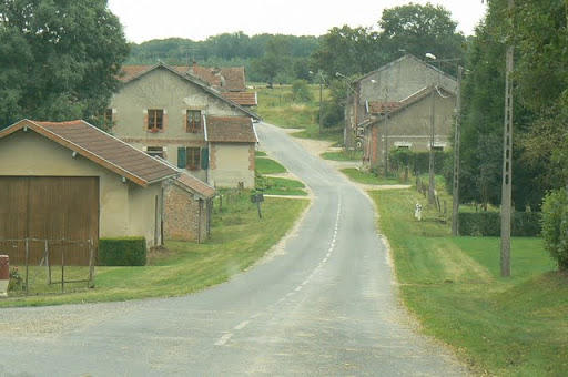
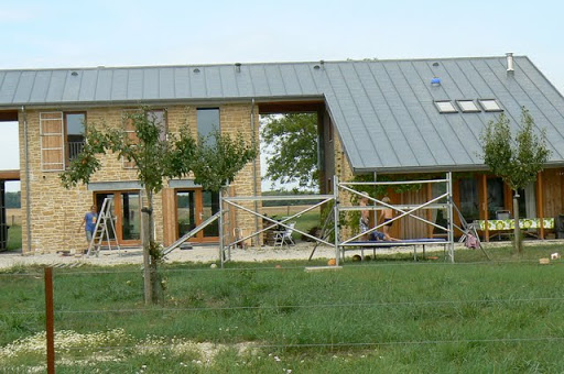
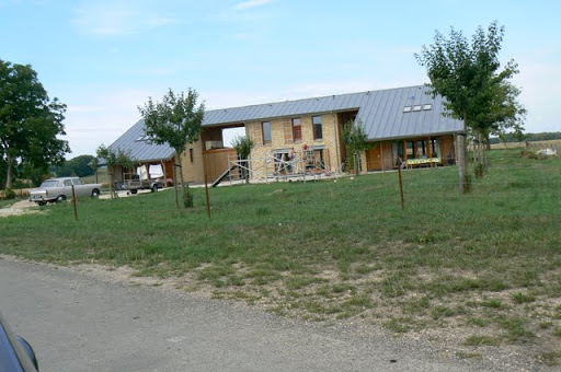
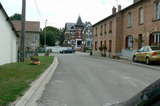
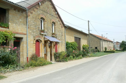
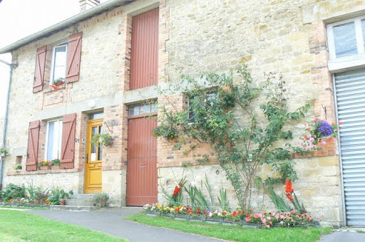
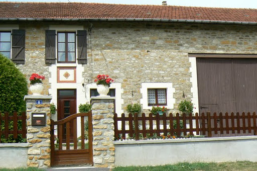
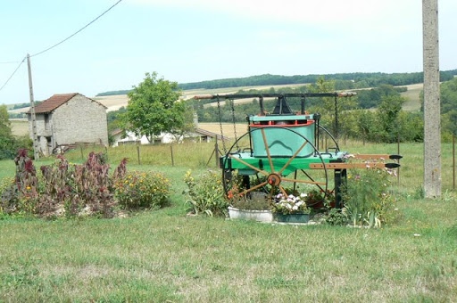
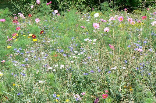
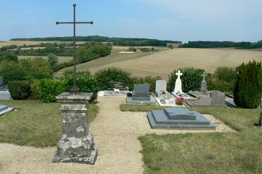
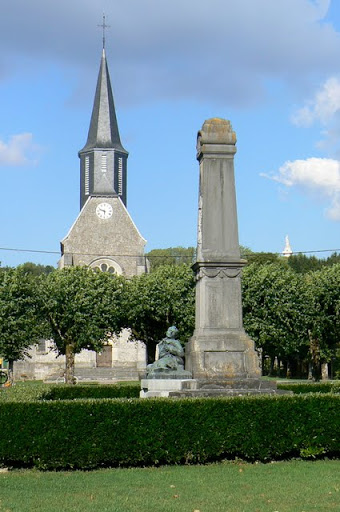
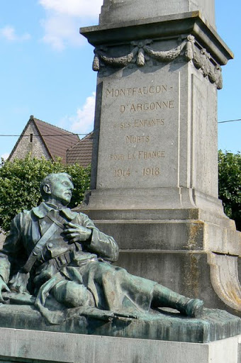
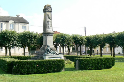
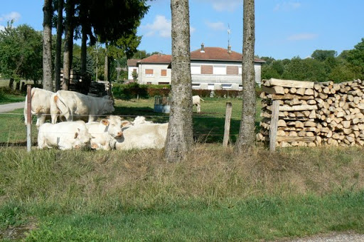
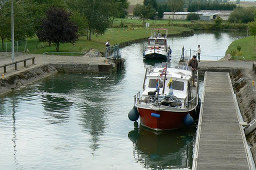
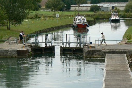
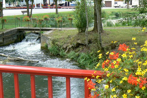
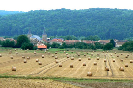
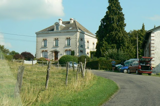
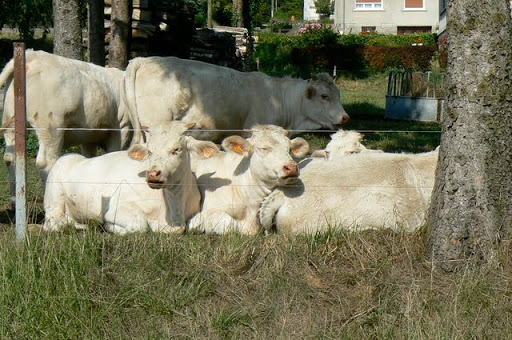
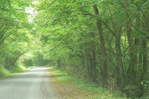
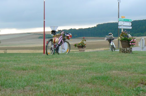
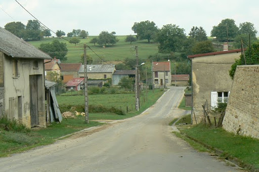
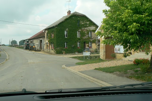
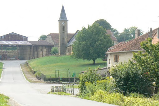
Today all is peaceful in the villages that dot the rolling hills here. The most noticeable sound is quietness. No guns, artillery, grenades or machine guns or cries for help. The buildings have been put back together, the cows let out to pasture, the hay rolled into round bales, the roads repaved, schools open and the mail is delivered every day. In this echo of silence it is hard to imagine the sounds of World War 1 nearly a hundred years ago and the harrowing and violent conditions that civilians and soldiers were forced to endure.
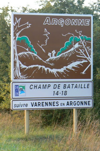
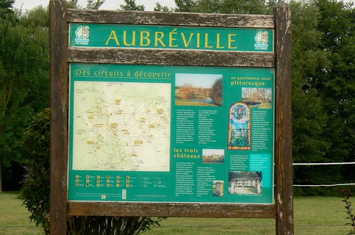
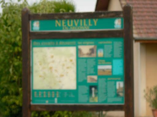
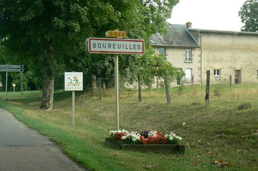
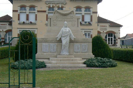
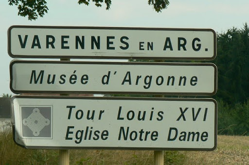
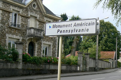
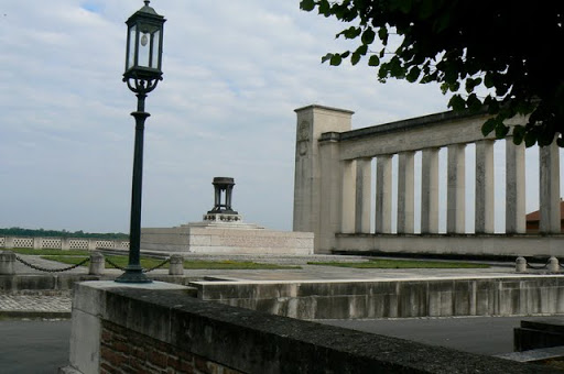
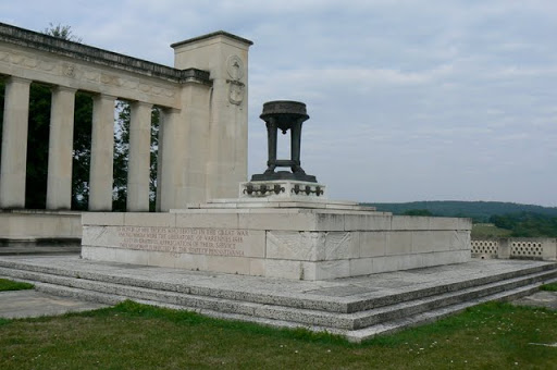
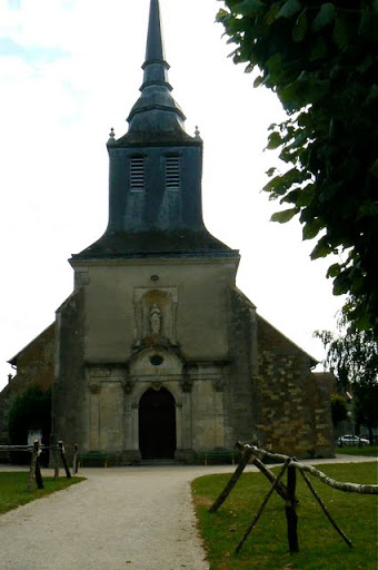
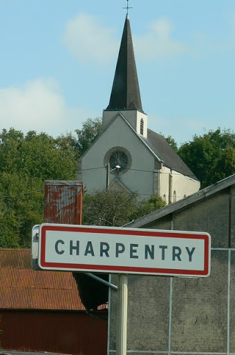
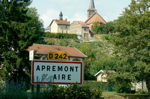
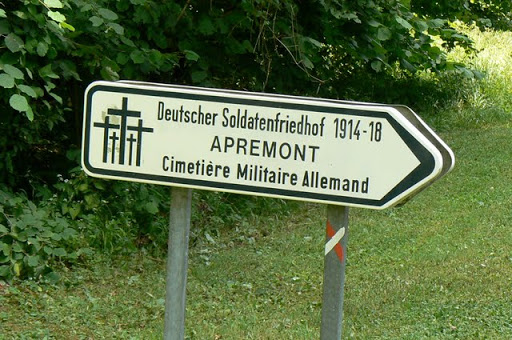
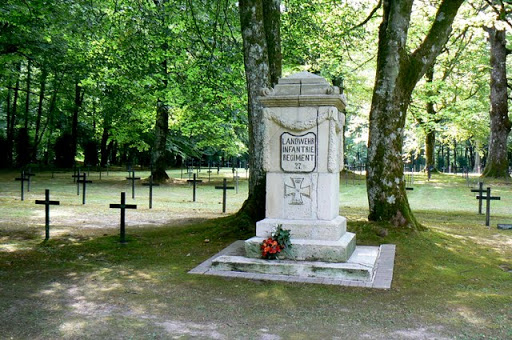
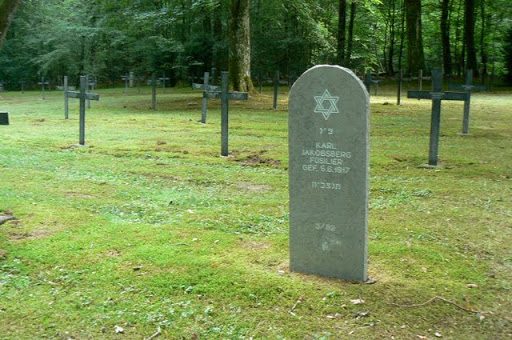
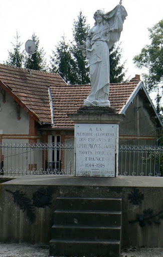
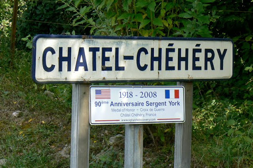
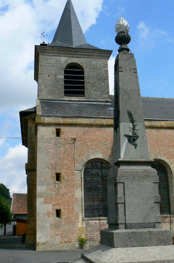
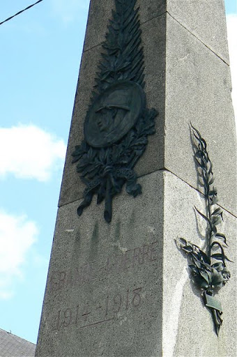
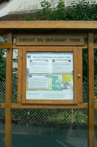
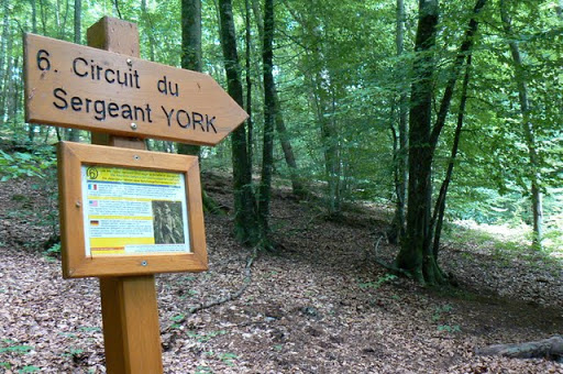
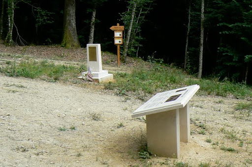
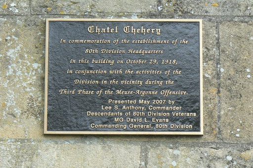
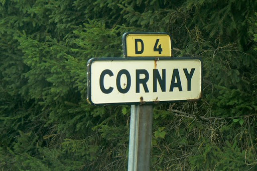
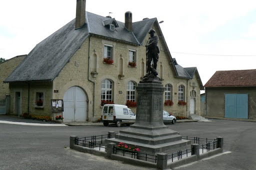
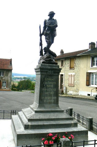
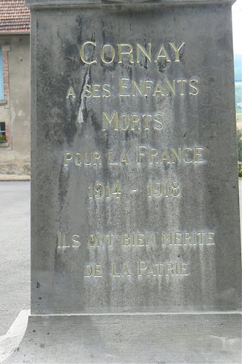
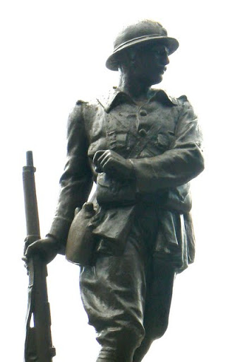
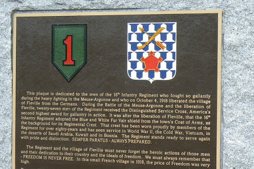
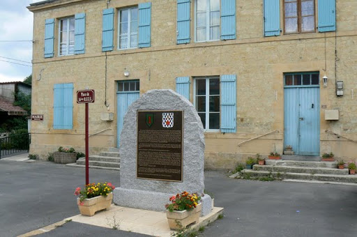
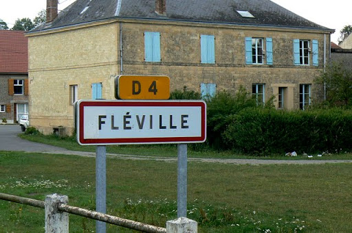
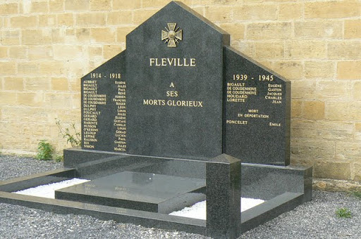
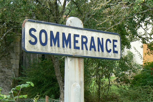
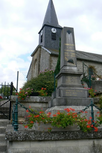
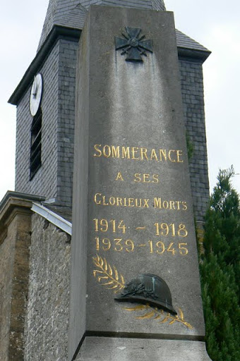
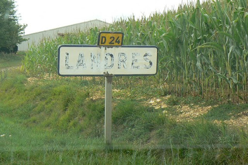
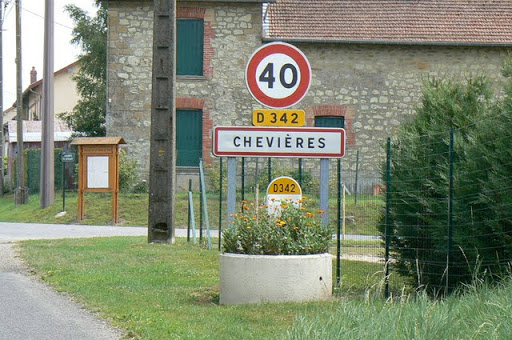
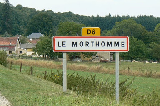
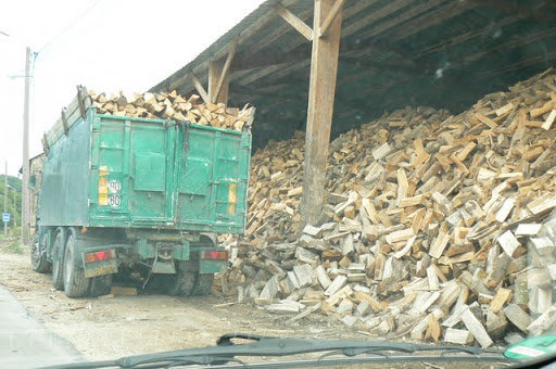
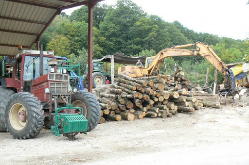
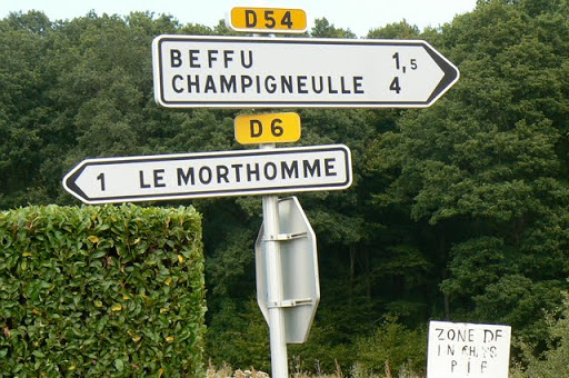
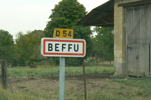
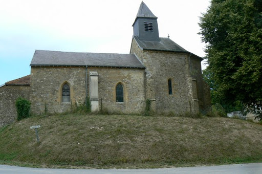
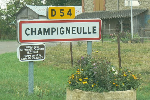
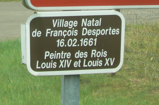
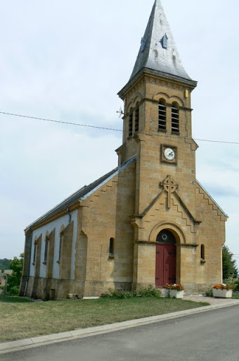
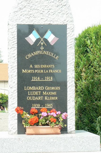
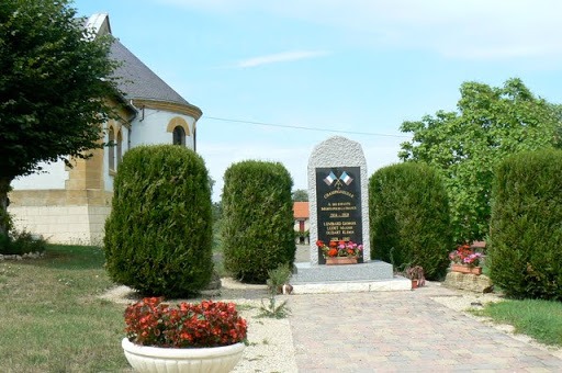
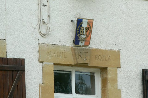
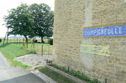
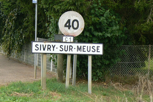
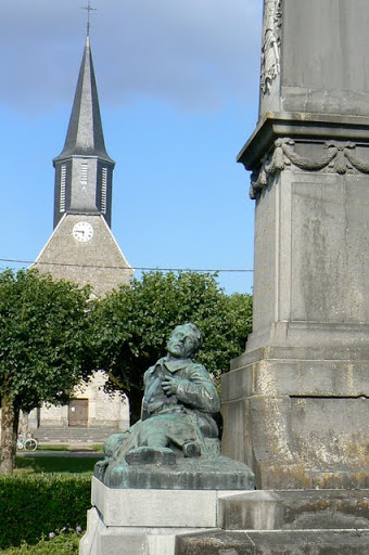
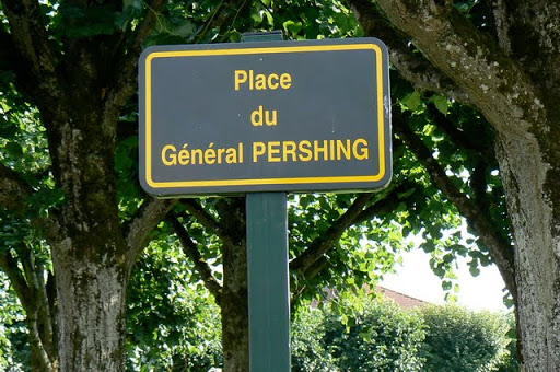
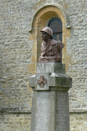
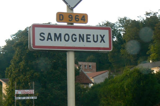
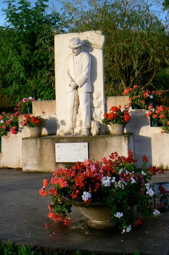
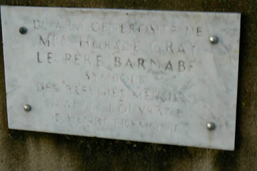
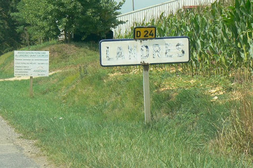
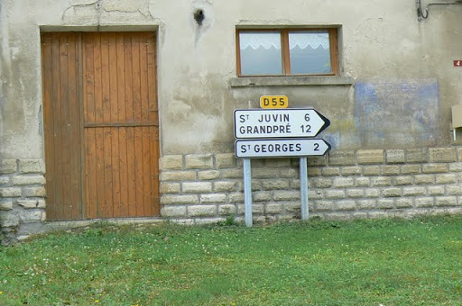
This gallery is a wandering path among some of these villages in no particular order. They stretch from Vouziers in the west to Dun-sur-Meuse in the east and Verdun in the south. The war is remembered everywhere here with memorials large and small: Aubreville, Neuvilly, Boureilles, Varennes, Charpentry, Apremont, Chatel-Chehery, Cornay, Fleville, Sommerance, Landres, Chevieres, Marq, Le Morthomme, Beffu, Champignuelle, Sivry-sur-Meuse, Samogneux…
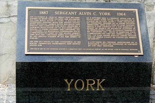
Read the story: The 1918 Meuse-Offensive in France During WW1 and the Death of Uncle John